The Dublin issue
Where Dublin Meets the Sea: The Cliff Walks, Harbours and Fish Shacks an Hour from the City
Dublin is a port that spent centuries facing inland — but a single green DART train delivers you to cliffs, working harbours and fish fried metres from where it was landed.

By Julien AubertThe Dublin between the postcards
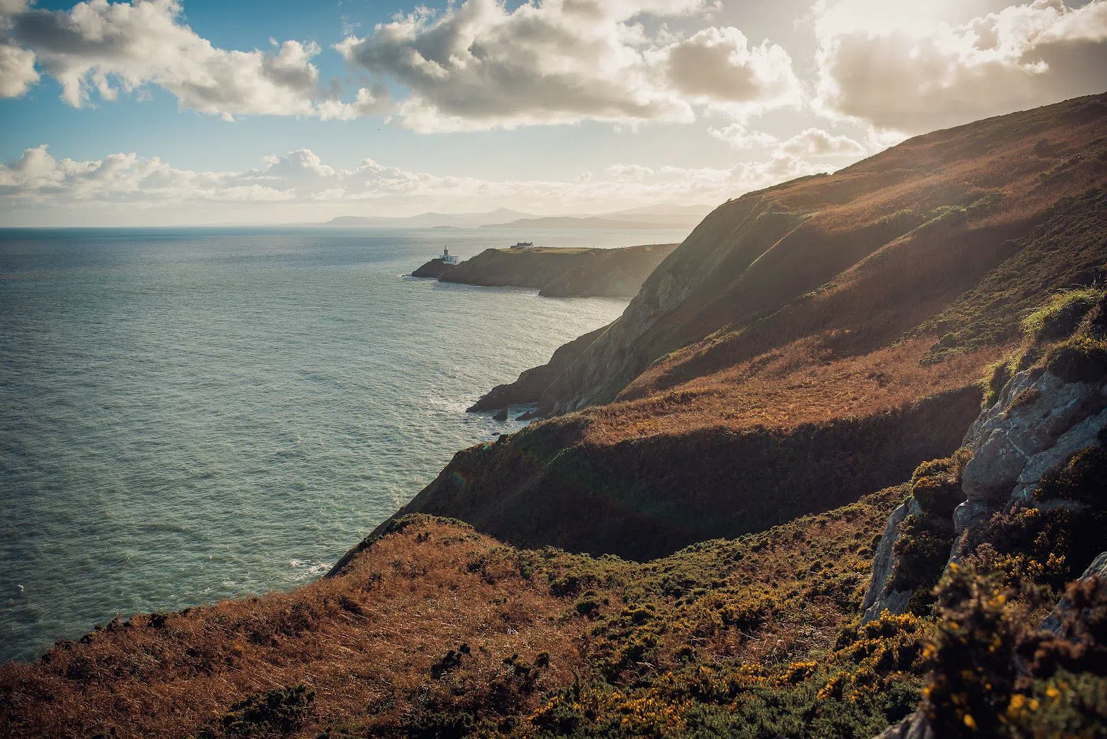
Dublin is a sea city that has spent centuries looking the other way — inland, up the Liffey toward the parliament and the pubs and the grey cathedrals. Yet step onto a green DART train at the right platform and, within forty minutes, the streets dissolve into gorse and granite, into cliffs that fall straight to the water and harbours where boats still land their catch at dawn. This is the hour that proves the point: the coast was here all along, waiting just past the last suburban stop.
What follows is not a checklist but a set of routes. The southern and northern arms of Dublin Bay each have their own character — one genteel and Victorian, the other rough-edged and working — and both are stitched together by the same railway line, so you can walk one way and ride back. Everything below is reachable on a day return, most of it for free, and none of it needs a car.
Howth: the working headland
Start in the north, at Howth, because it gives you the most in the smallest circle. The DART runs to the end of the line here in about twenty-five minutes from the city centre, and the whole peninsula fans out from a single point.
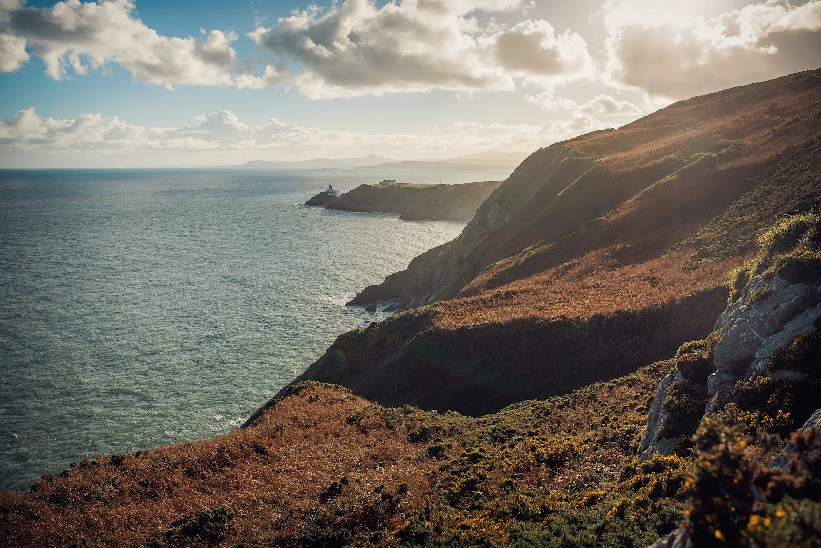
The Howth Cliff Walk (Howth, the northern headland) begins right at the DART station, and its cleverness is that it isn't one walk but four. The routes share a trailhead and then peel apart into colour-coded loops — the gentle green Cliff Path that hugs the shoulder of the hill, up through to the purple Bog of Frogs, which asks for proper footwear and a bit of scrambling across the top of the headland. That layering makes it the rare walk that suits a mixed group: the ones who want a level stroll with a coffee at the end can take the green, while the leggier walkers push on around the full circuit and everyone reconvenes at the harbour. Budget anything from an hour for the short loop to three or four for the long one, and check the colour markers at the start rather than trusting your phone. It is free, needs no booking, and the sea is on your right the whole way out.
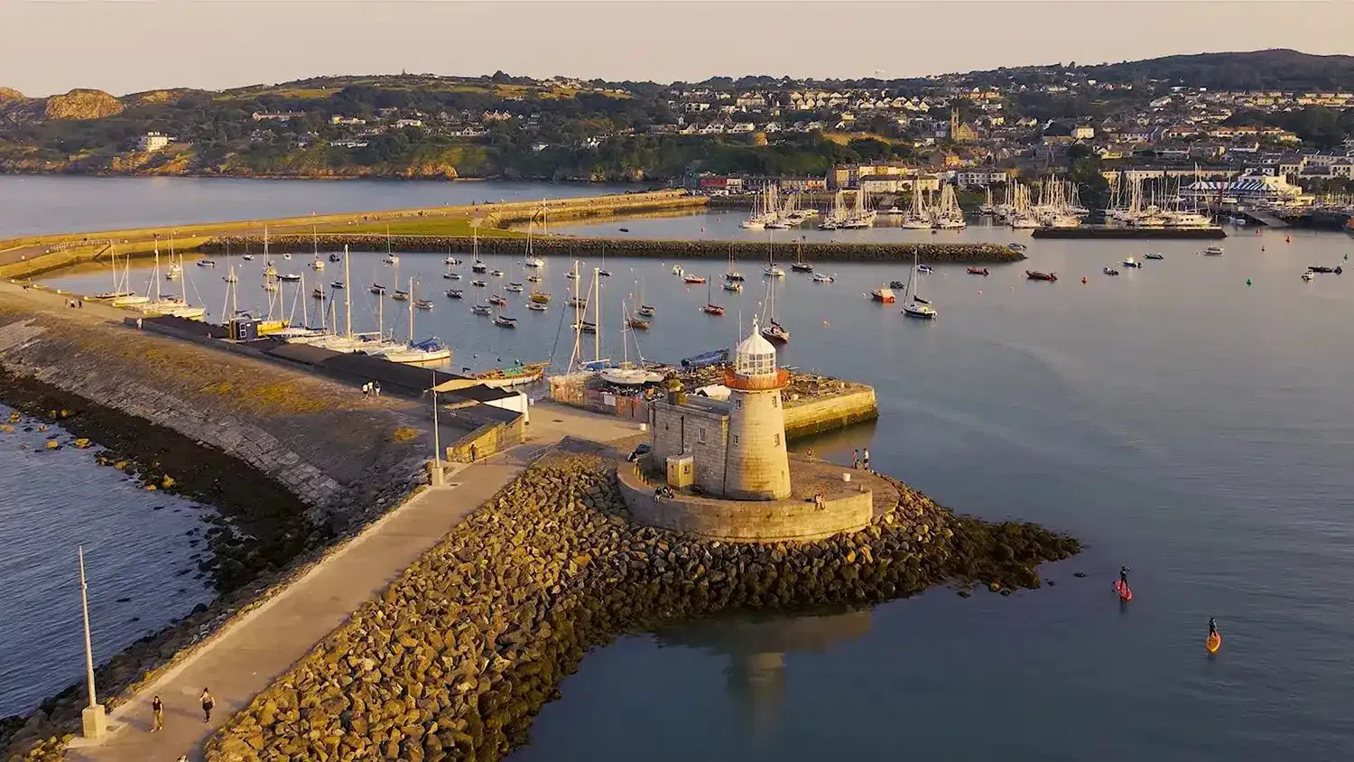
Down at sea level, Howth Harbour and the West Pier (Howth village) is the honest heart of the place — a working fishing harbour, not a marina dressed up for visitors. Walk the length of the West Pier, a flat and easy ten minutes each way, and look down into the green water: the resident grey seals surface right below the wall, unbothered, hoping. Do not feed them, however much they perform for it — it is bad for them and it is against the spirit of a harbour that earns its living. The quayside is open, free and pram-flat, which makes it the natural regroup point for a big group after the cliffs have split everyone up.
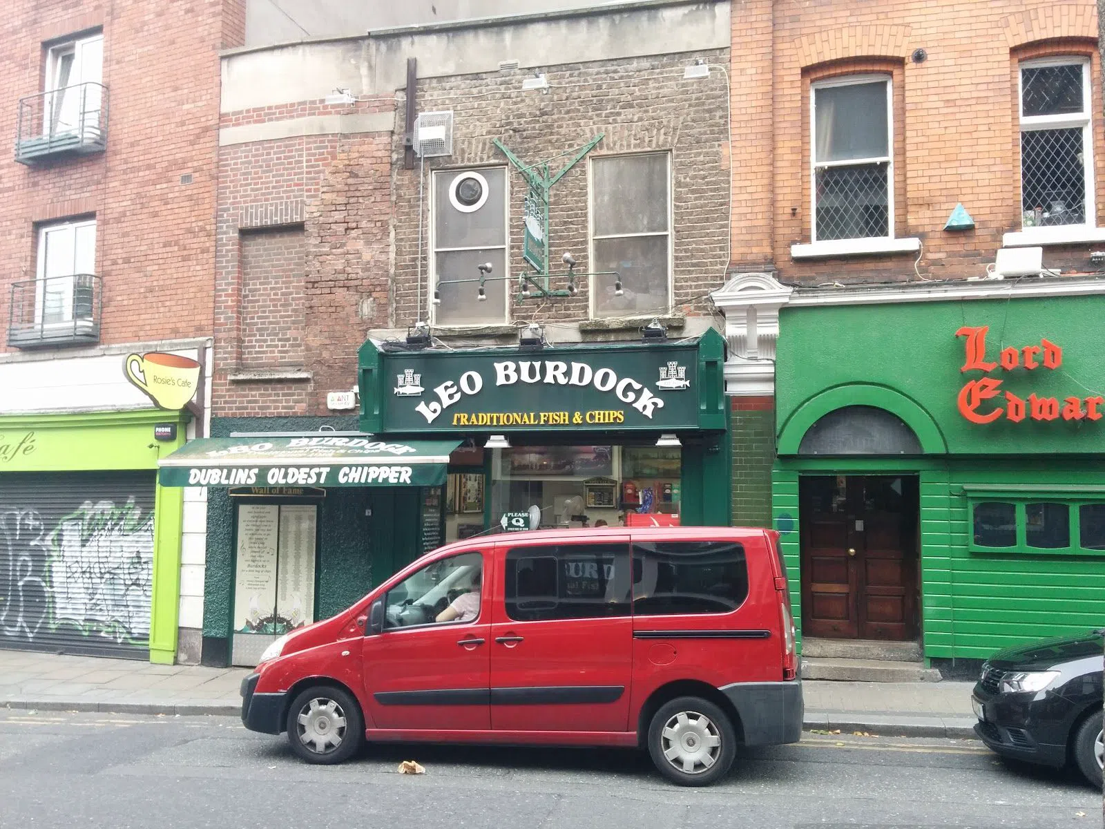
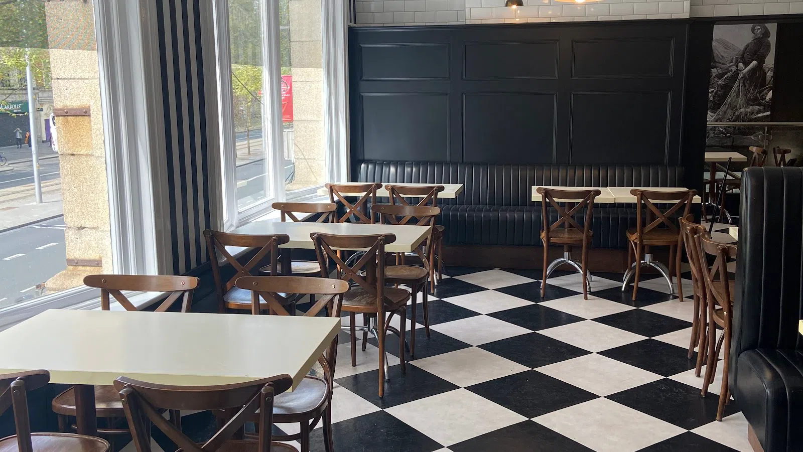
When the walking is done, Howth settles the oldest argument in Irish seaside eating: which chipper. Beshoff Bros (Howth seafront) fries the catch metres from where it comes ashore, and the name carries real history — it traces back to a survivor of the 1905 Potemkin mutiny who settled in the city and turned to fish. It is an easy place to bring a crowd: walk-in takeaway or sit-down, no reservation, mains around €10–15. A few steps away, across from the station, is the seaside outpost of Leo Burdock (Howth, opposite the DART), a Dublin institution since 1913 and the natural rival for a proper chip-shack showdown. Burdock's is a takeaway counter with little room to sit, so order there and eat on the wall looking at the boats; mains run about €10–14. My honest steer: if your group is large or wants to sit, lean Beshoff; if you want the older counter and don't mind eating standing in the wind, Burdock's is the pilgrimage.
For a half-day rather than an afternoon, add the island. Ireland's Eye Ferries (departing the West Pier) runs the fifteen-minute hop out to a genuinely wild bird-and-seal island just offshore, with landings from mid-April and boats roughly hourly through the season. There is one operator, so whether you simply circle the dramatic sea stack known as 'The Stack' or land and climb the island itself, treat it as a single trip and book ahead in summer — around €25–29 for an adult and about €70 for a family. It suits groups well; it does not suit anyone in a hurry, because you are on the sea's timetable, not your own.
Plan your Dublin trip
Live prices from our booking partners.
Free cancellation on many rooms. We may earn a commission when you book.
The southern shore: Joyce's towers and swimming rocks
Swap to the southern arm of the bay and the mood changes entirely — from working harbour to Edwardian promenade. This is where the coast becomes literary. The squat stone Martello towers that punctuate the whole shoreline were built as defence against a Napoleonic invasion that never came, and one of them became the most famous room in Irish writing.
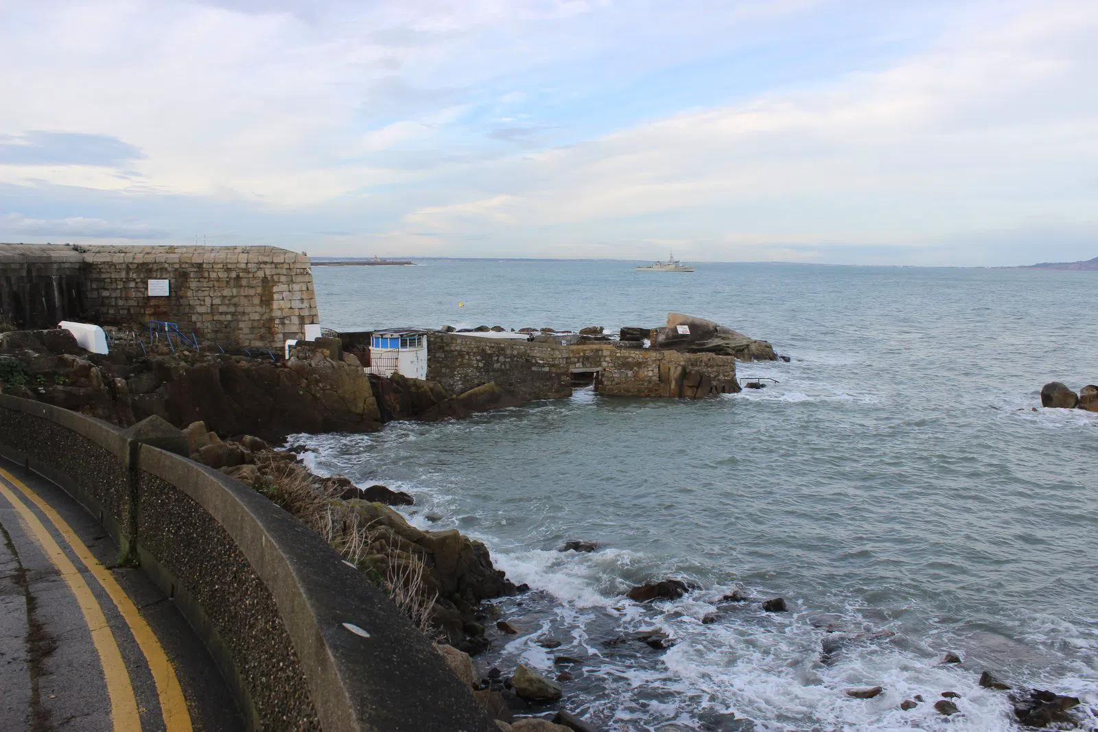
The James Joyce Tower and Museum (Sandycove, southern bay) is that tower: the very Martello where Ulysses opens, on its rooftop, at eight in the morning. It is free, volunteer-run, and open Wednesday to Sunday from 10 to 4, and the rooms are genuinely small — so a large group should stagger its entry rather than pile in, and a couple will find it more rewarding than a coach party would. Give it half an hour and climb to the gun platform for the view the book opens on.
Directly beside it is The Forty Foot (Sandycove), a famous rock where Dubliners swim in the open sea all year round, Christmas morning included. It is free, unsupervised and deep, with no lifeguard, and it is tidal — this is a place for confident swimmers who read the water first, not a gentle paddling beach. Heed the water-quality notices when they appear: one was in force after heavy rain in June 2026, and the sensible move is always to check the posted sign before you dive. For a group, it is a wonderful dare and a terrible place to lose track of a weak swimmer, so pitch it accordingly.
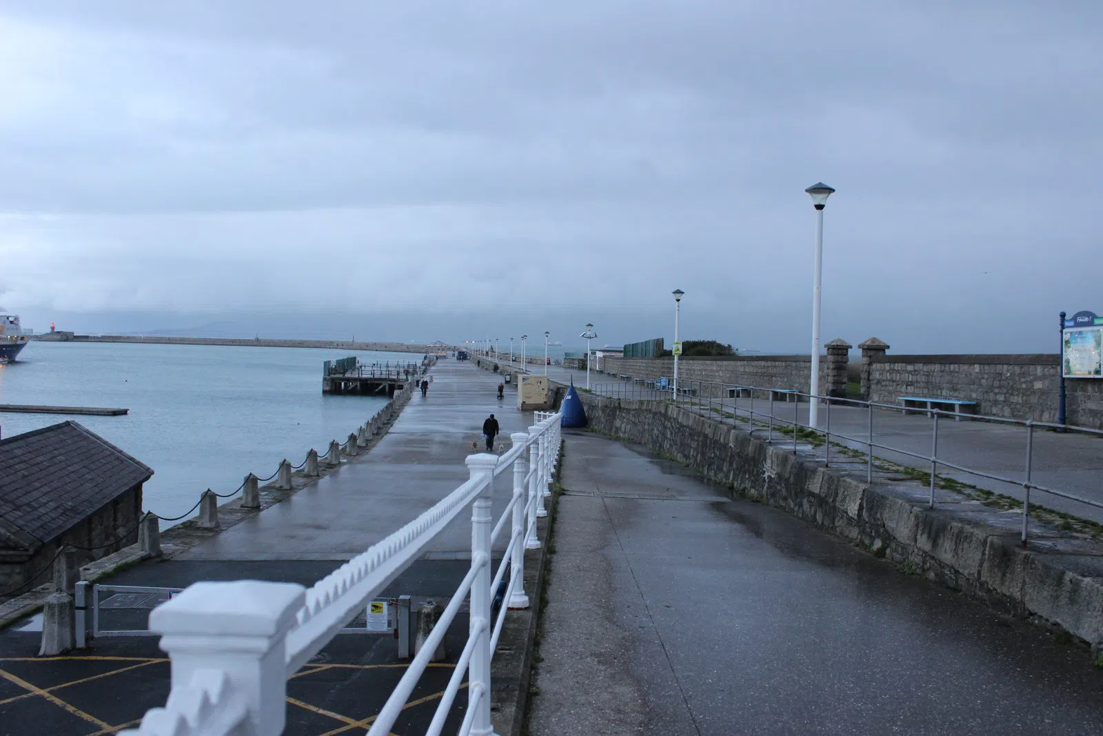
A little further round, Dún Laoghaire East Pier (Dún Laoghaire) is the level, genteel counterpoint to Howth's cliffs — a 2.6km granite arm reaching out into Dublin Bay, with a Victorian bandstand at the halfway mark and a lighthouse at the turn. It is open, free and flat, which makes it perfect for absolutely any group: prams, grandparents, teenagers dragging their heels, all can do the there-and-back in about an hour with the wind at their backs one way. It is the classic Sunday walk of the southside, and there is no ticket, no gate and no bad time to do it.
Dalkey, Killiney and the Bay of Naples view
Keep going south on the same line and the coast climbs. Dalkey is the prettiest of the seaside villages, and from it you can reach both an island and one of the great views in these islands.
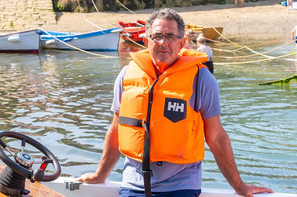
Dalkey Island (offshore from Dalkey, with Ken the Ferryman) is a five-minute crossing in a small twelve-seat boat to a wild scrap of land grazed by goats, dotted with ruins and patrolled by curious seals. Ken runs seven days a week, roughly 10 to 6, at €10 for an adult and €5 for a child — but the sailings are entirely sea-dependent, so the etiquette is to message ahead on WhatsApp before you set out rather than turn up hopeful. It works for a small group; it does not work in a swell, and no amount of wishing changes that.
From Dalkey station, the walk up Killiney Hill and Vico Road (Killiney, southern tip of the bay) delivers the payoff the whole southern shore has been building toward — the sweep so often likened to the Bay of Naples. Stroll Vico Road first, past the sea-facing villas with the water glittering below, then climb through the park to the obelisk at the top, where the entire southern bay lays itself out beneath you. It is free public parkland with short and long loops from the DART, so a group can choose its own effort: fifteen easy minutes along the road, or a proper hour's climb to the summit and back. Go on a clear evening if you can; the light does most of the work.
Where the coast keeps going: the far ends
The bay does not stop at the city's edge, and three walks reward pushing past it.
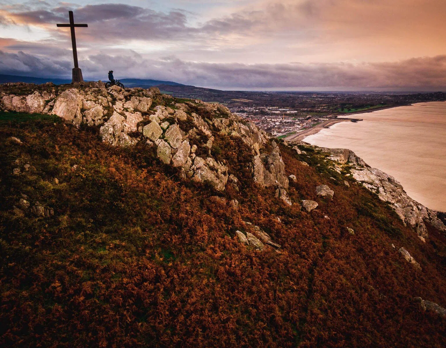
South of Dalkey, Bray Head Loop (Bray, the DART's southern terminus) is where the coast turns genuinely dramatic. An honest note first: the celebrated clifftop path along this stretch is currently closed by landslides, with the public urged off it, likely for years — so ignore any older guide that sends you along it. The faithful way to walk this headland now is the open 5.5km loop up to the Bray Head Cross and back, climbing from the seafront promenade after the DART drops you in the town. It is free, suits an able group, and gives you the height and the sea without the risk. Reckon on two hours at a walking pace, more if you stop for the view, which you will.
Back at the city's own doorstep, North Bull Island and Dollymount Strand (Clontarf, the inner bay) is the closest big beach to the centre — a UNESCO biosphere sandbar you reach across a wooden bridge, backed by dunes and loud with wading birds. It is vast, free and open, which makes it the easiest of all these for a large group: there is simply room for everyone, and space to lose a football without losing a person. It is minutes from the centre by DART and bus, and it rewards a slow, flat, birdwatching amble rather than a march.
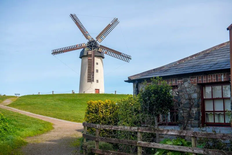
Finally, for the coast without the crowds, ride the commuter rail north to Skerries (north County Dublin, on the northern commuter line). This is a less-touristed harbour town — the northside's honest answer to Howth — with its own Martello tower, a working harbour and a 1.5km headland loop that you can extend into a proper morning with stops at the old windmills and their mill café. The town and trail are free; the windmill and café cost a little extra. It suits groups happily, and because most day-trippers never get this far, you often have the harbour wall largely to yourself.
The practical bones
Getting there. The DART electric coastal railway is the spine of this entire guide: it runs Howth and Malahide in the north, and Bray and Greystones in the south, through the city centre, roughly every ten to fifteen minutes. Skerries sits on the separate northern commuter line, a short hop further out. Buy a Leap card or tap a contactless bank card at the gate; a day of hopping on and off costs only a few euro. The single best trick is to walk a coastal stretch in one direction and take the train back rather than doubling on foot.
Cash and cards. Ireland runs on the euro, and cards work almost everywhere — the chippers, the ferries, the cafés. Carry a little cash anyway for the small boat operators, who are sometimes cash-first, and for the honesty of a windmill café.
Timing. These are outdoor days, so the weather decides more than the calendar does. The two island ferries — out to Ireland's Eye and across to Dalkey Island — run only when the sea allows and only in the warmer months, so treat them as a bonus rather than a fixed plan and message or book ahead. The cliff and pier walks work year-round; a bright, breezy day after rain is often the clearest, though it is also when swimming spots post their water-quality notices.
Budget. Most of the best of this coast is free — every cliff walk, harbour, pier, beach and hill above costs nothing to enter. A generous day out is really just a train fare, a €10–15 plate of fish and chips, and the price of a ferry if you take one. Book a night by the sea if you want to slow it down; a Dublin hotel search will turn up rooms in the coastal villages as well as the centre, and the wider Dublin guide covers the city you'll be facing away from all day.
Dublin faces inland out of habit, not necessity. Give it an hour and a train ticket, and it turns to face the sea.
Before you go
How do I get to Dublin's coast without a car?
The DART electric coastal railway does almost all the work. It runs to Howth in the north and through Dalkey, Killiney and Bray in the south, roughly every ten to fifteen minutes, in twenty-five to forty minutes from the centre. Skerries sits on the separate northern commuter line. Tap a contactless card or a Leap card at the gate; a day of hopping on and off costs only a few euro.
Which is the best Howth cliff walk for a mixed group?
The Howth Cliff Walk is four colour-coded loops from one trailhead at the DART station, so a mixed-ability group can split and reconvene. The gentle green Cliff Path is a level stroll suitable for most; the purple Bog of Frogs needs proper footwear and some scrambling. Everyone can regroup afterwards on the flat West Pier by the harbour.
Beshoff Bros or Leo Burdock in Howth — which fish and chips?
Both are excellent and both are metres from the sea. Beshoff Bros offers walk-in takeaway and sit-down, handles large groups easily and runs about €10–15 for mains. Leo Burdock's Howth outpost is a smaller takeaway counter (a Dublin name since 1913) at €10–14 — order there and eat on the harbour wall. Lean Beshoff if your group wants to sit down.
Can you still walk the Bray to Greystones cliff path?
No — that clifftop path is currently closed by landslides and the public is urged to stay off it, likely for years. The faithful alternative is the open 5.5km Bray Head Loop up to the Bray Head Cross and back, climbing from the seafront promenade after the DART drops you in the town. It gives you the height and the sea views without the risk.
Is it safe to swim at the Forty Foot?
The Forty Foot is a famous year-round open-sea swimming rock beside the Joyce tower, but it is unsupervised, deep and tidal, with no lifeguard — one for confident swimmers who read the water first, not a gentle paddling beach. Check the posted water-quality notices before diving in; one was in force after heavy rain in June 2026.